Trappers Peak
A few years prior…

We set out for the North Cascades bright and early on a Saturday morning in January. The destination for the weekend was the summit of Trapper’s Peak - what we had researched to be the perfect hike to practice our mountaineering skills, get some fantastic views and best of all - snow camp on an epic and exposed ridge! We felt extremely grateful for another weekend with a forecast of clear skies and sun in our eyes.

North Cascades Backcountry Permits are required year-round for overnight use in the park. The most reasonable way to obtain a permit is to stop by the Marblemount Ranger Station in Marblemount, conveniently located 17 miles prior to reaching the trailhead (heading east). The station is closed from October 7th to May 5th but hikers are required to fill out a permit at the self register station.
After registering at the Ranger station in Marblemount, we turned left onto Thorton Lakes Road where the adventure began. We had 5 miles and 2,000 feet of elevation left to get to the trailhead and we knew the road ahead was a rocky one. We were pleasantly surprised when the first few miles were smoother than we’d expected-- especially following the treacherous drive just two weeks prior up the foothills of Mt. Pilchuck (**link to Pilchuk blog).
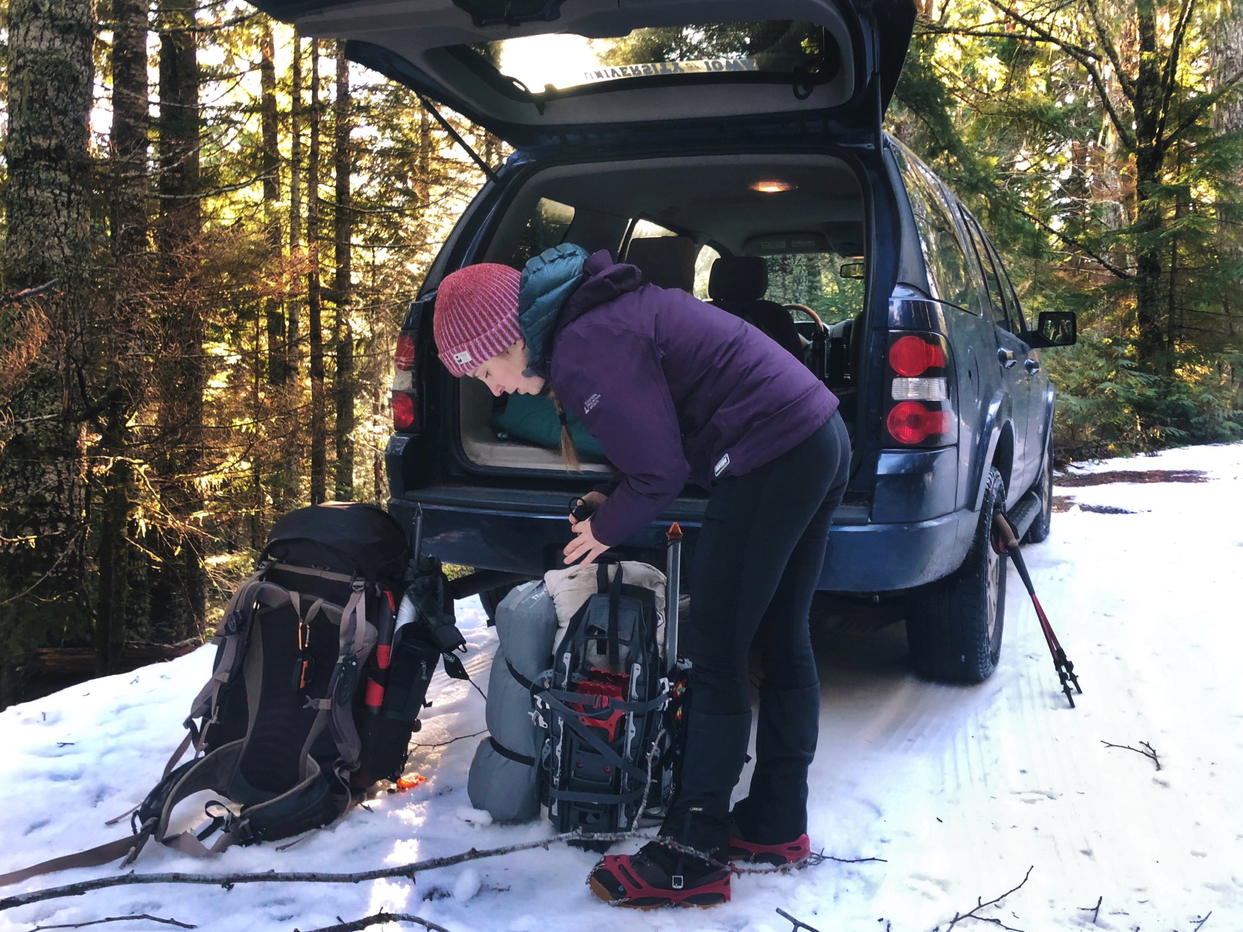
Eventually, a sharp turn around the corner revealed a parked truck and we followed suit, surrendering our engine and strapping on MicroSpikes to hike the remaining mile or so up the road to the trailhead. We passed a group of people pushing a stalled car to the side of the road which reinforced the idea that we’d made the right choice.

Once we reached the trailhead, we had 5.5 miles to Trapper’s Peak. We quickly switched to snowshoes as we came to the realization that only a skier had traversed the trail since the last snowfall, and we’d need to break trail.
The first 2 miles were relatively flat as we followed an old logging trail with an elevation gain of only 500 feet. Then, we followed faintly marked switchbacks for some time until we were left questioning every step we took up to the ridge, concluding that the skier before us must’ve been a ghost. The sun was high in the sky, melting the snow on the trees until they were heavy enough to unexpectedly drop cold chunks of snow on us.
Route finding to the top definitely added extra time onto our trip, but we were happy to be outside adventuring and continually thankful for the unusually beautiful winter weather. As we finally made our way back to the mysterious skier’s tracks, we found ourselves one steep push away from the exposed ridgeline and with our final destination in view, Trapper’s Peak.
We had great views down to the snow covered Thorton Lakes on the left and the gorgeous Pickett Range ahead and to the right. At this point, the route becomes much more obvious as we followed the highest point of the ridge, careful to avoid cornices. Trapper’s Peak stood proudly in front of us as the sun began to set.
The summit was still a good distance away and the route to the top didn’t look easy. Knowing it would take us some time to set up camp, we cut our losses and decided to call it quits, calling the ridge home for the night.

We dug out a level spot for our 4 season tent and set it up while enjoying the view of the rugged Cascades turning pink. To make camp-life easier, we also dug out a large standing area at the front doors of our tent so that we could move comfortably as we set up our beds and kitchen.
Pleased to be snoozing by hiker midnight, we planned to awaken early to traverse up Trapper’s near sunrise. We left the comfort of our tent right on time as we set off for the peak, the snow below our feet us at the perfect temperature to hug our snowshoes just so. The ascent required use of our ice axes and a bit of bravery as the steepest sections presented themselves.

As usual, the challenges were well worth the rewards as we took in our well deserved 360 degree view of the surrounding mountains. We took our time on the top as we relished in the solitude and sheer beauty.
While we were stoked to have conquered our goal, we knew we weren’t finished. A 6,000 foot descent in 5.5 miles awaited us. It took some serious concentration to make it safely down the steep sections of trail back to our tent where we packed up the home we’d made and began our way down, thanking ourselves for the clear trail we’d created on the ascent.

The bright winter sun had melted much of the snow we’d seen in the lower elevations on our way down, and we ended up taking off our snowshoes near the end. We were relieved to reach the trailhead sign, knowing we had a short walk to our vehicle, but also with the same bittersweet feeling at the end of every adventure. Pleased to have overcome a challenging feat, but sad that the journey is over. As we drove back to Seattle, we contemplated ideas for our next adventure.
Practice good trail etiquette, LIKE, SHARE, and COMMENT! ✌️❤️🏔