Chasing 48: Thanksgiving In The Whites
With five days free for Thanksgiving, Moose and Teton hit the road and head to the White Mountains for a peak bagging trip in an attempt to tackle more mountains on the White's 4,ooo footer list. After their previous success car camping at the trailhead of Mt. Hale a few weeks before, they set their radar on eight separate peaks in the southern Sandwich Range and loaded up the car as a base camp.
Peaks covered in this trip: Mt. Passaconaway, Mt. Whiteface, Middle Tripyramid, North Tripyramid, Mt. Hancock, South Hancock, East Osceola, Mt. Osceola, Mt. Carrigain.
DAY ONE
MT. PASSACONAWAY (4,043 FT.) - MT. WHITEFACE (4,021 FT.)
Of the eight peaks we looked to tackle, only four could be strung into a loop hike. The rest would need to be hit one at a time as their own respective day hike. We decided to do the loop with an overnight first, as it would be our longest and most aggressive section of the trip, and we needed to be fresh and strong. Teton drew up a loop that would get us four peaks, ending with a short road walk back to the car. We arrived the night before and parked at the Oliverian Brook Trailhead.


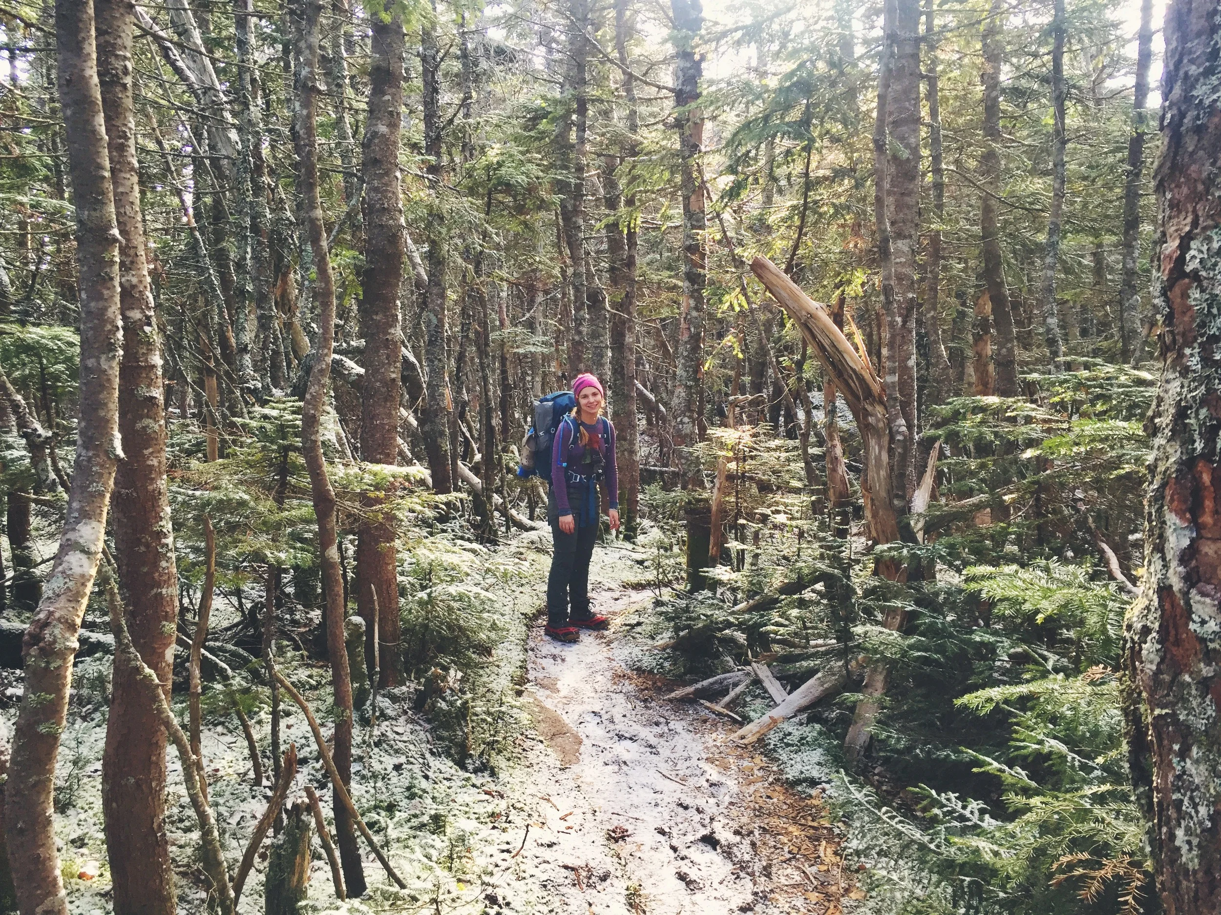
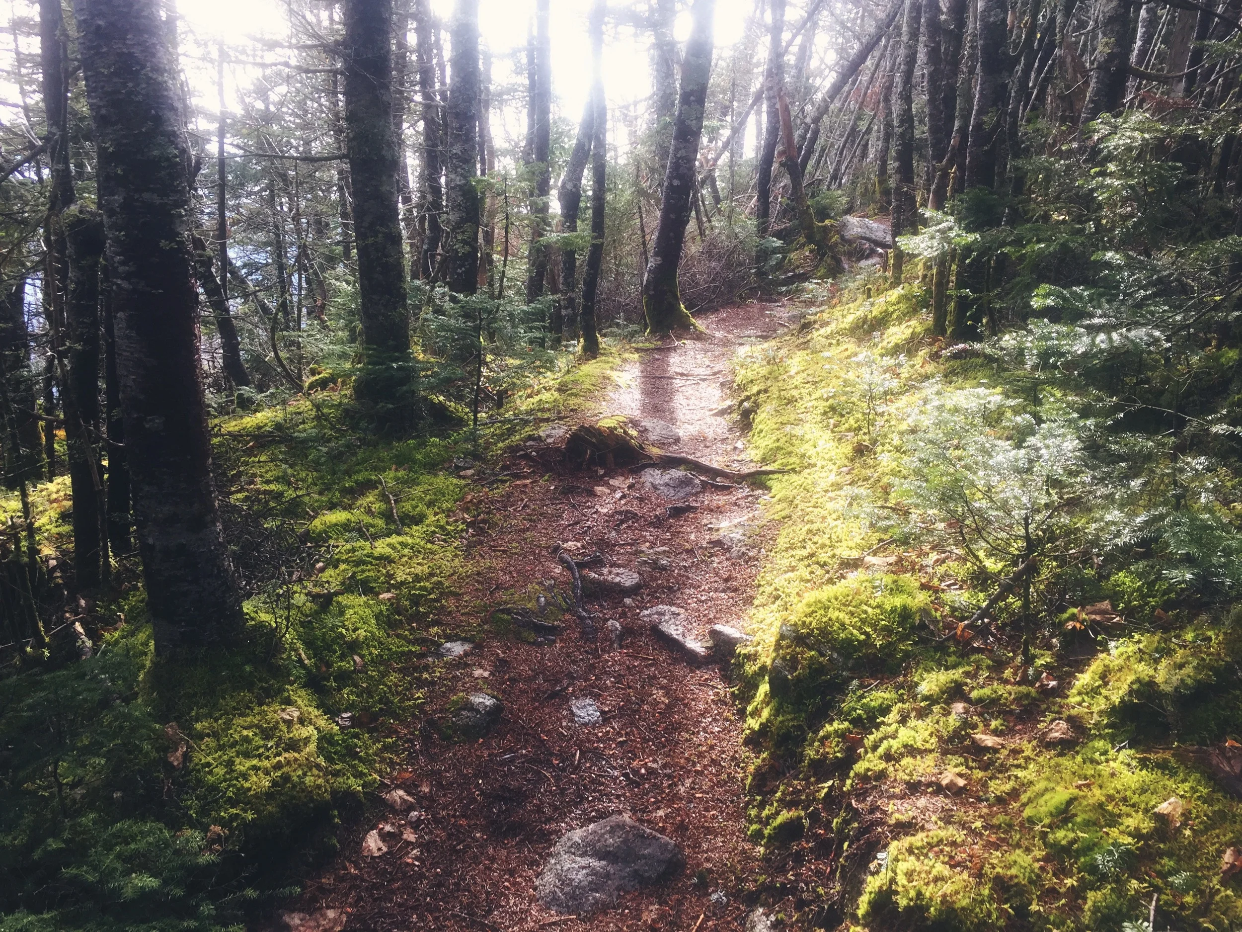
The Oliverian Brook Trail offers 2 miles of easy walking filled with many beautiful brook-side campsites. We noted these as perfect spots to camp in the hot summer. While our weather was unseasonably warm, we wouldn't be splashing around in the streams quite yet. After these leisurely few miles, the real uphill starts as we get closer to the peak.
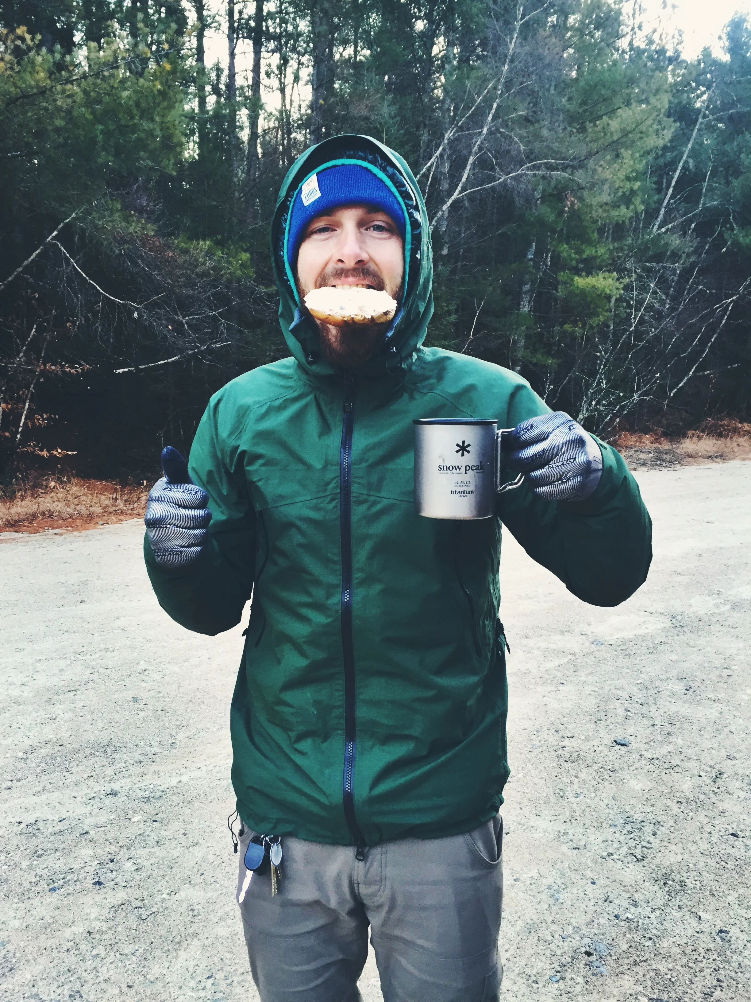
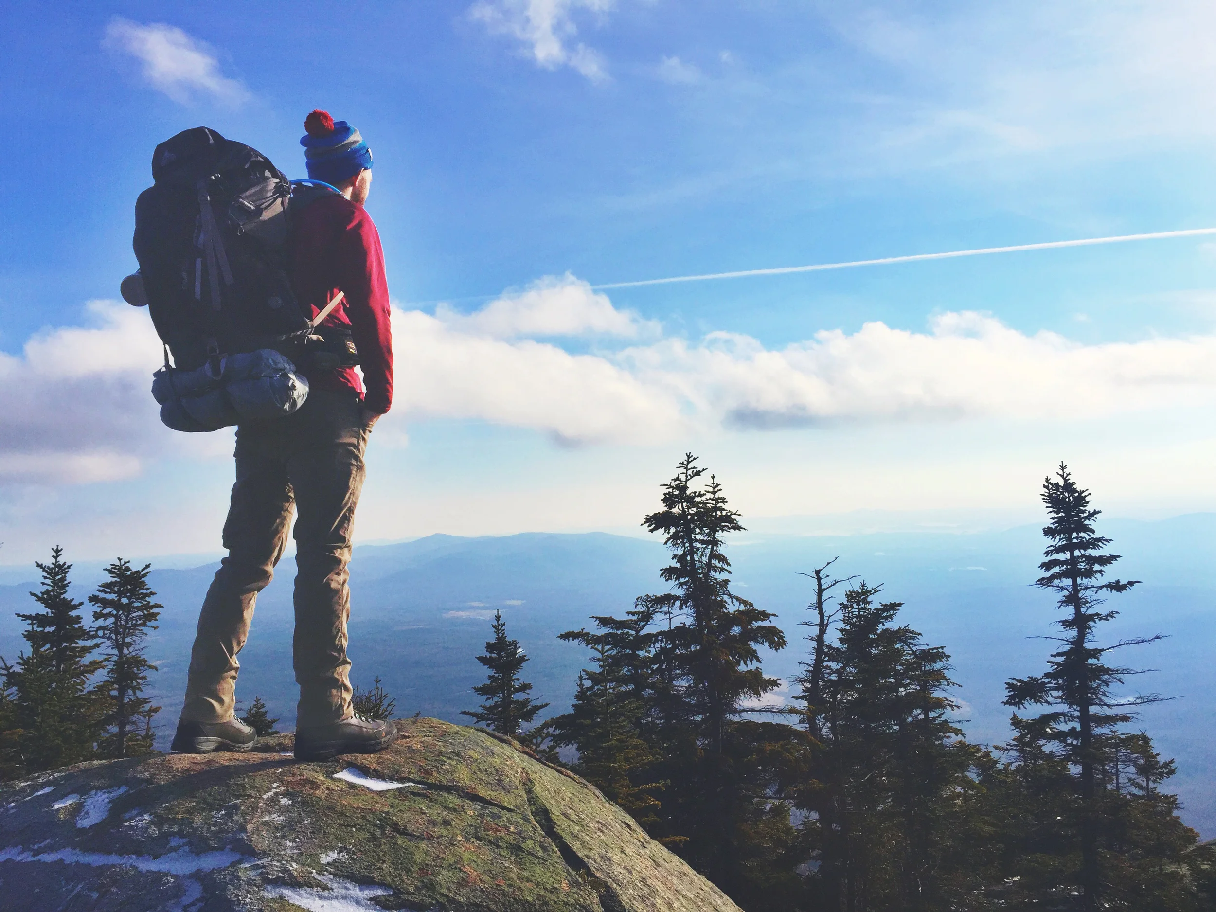
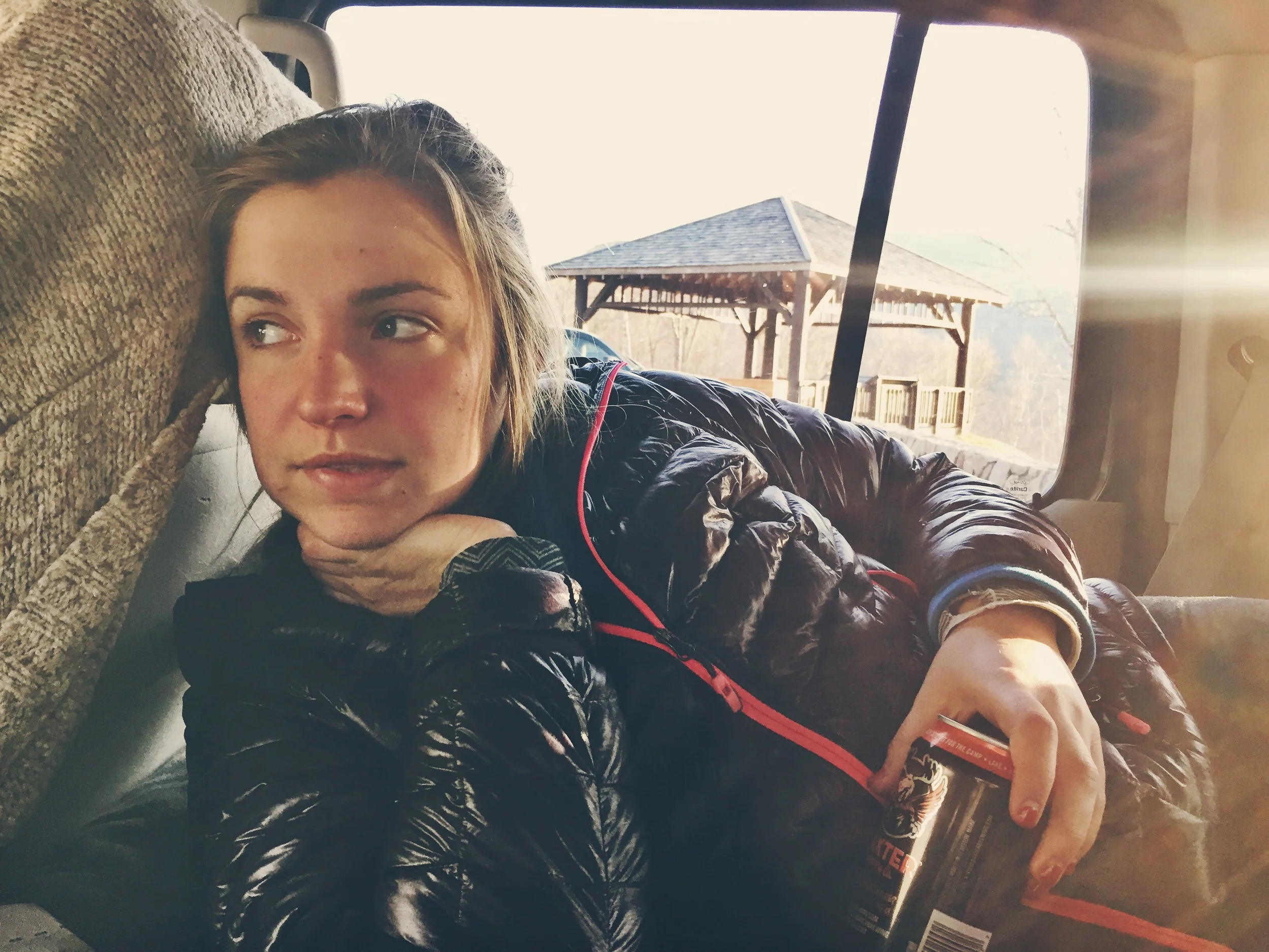
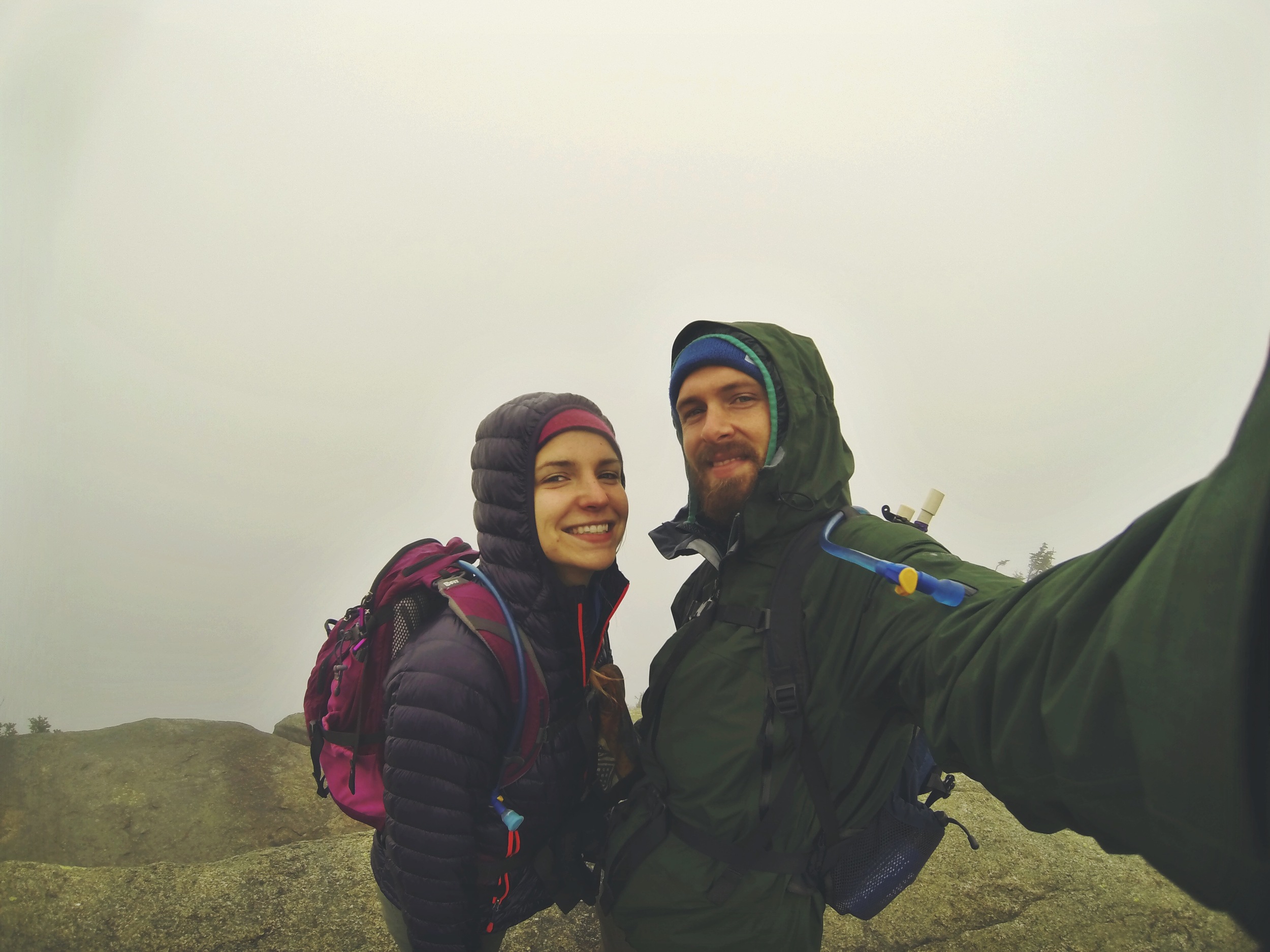
This was our first overnight of the year with our entire winter outfit. A four-season tent, -30° sleeping bag, and insulted boots made us much heavier than normal. With the additional gear weighing us down, we found the climb up Mt. Passaconaway to be tough and tiresome.
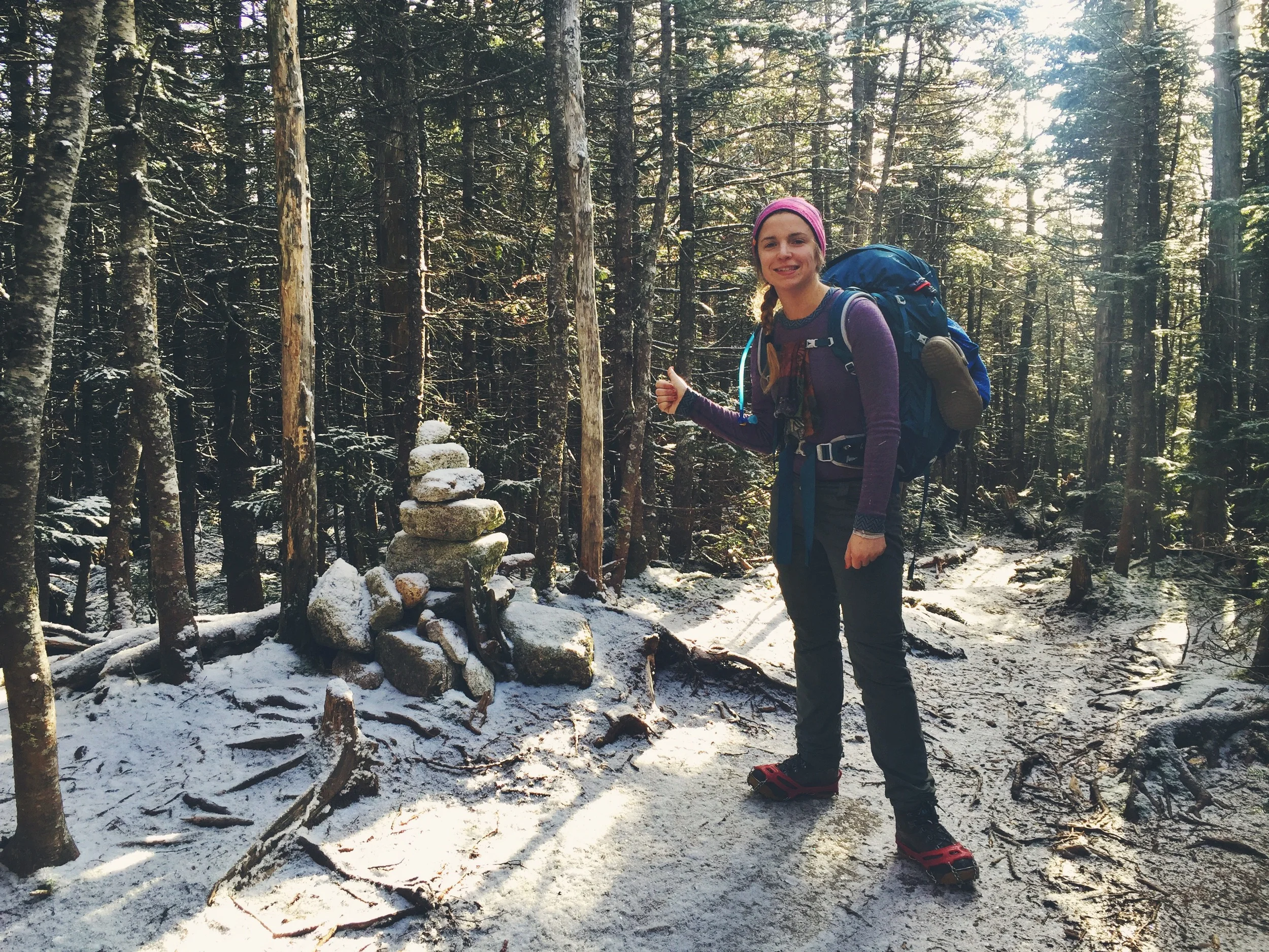
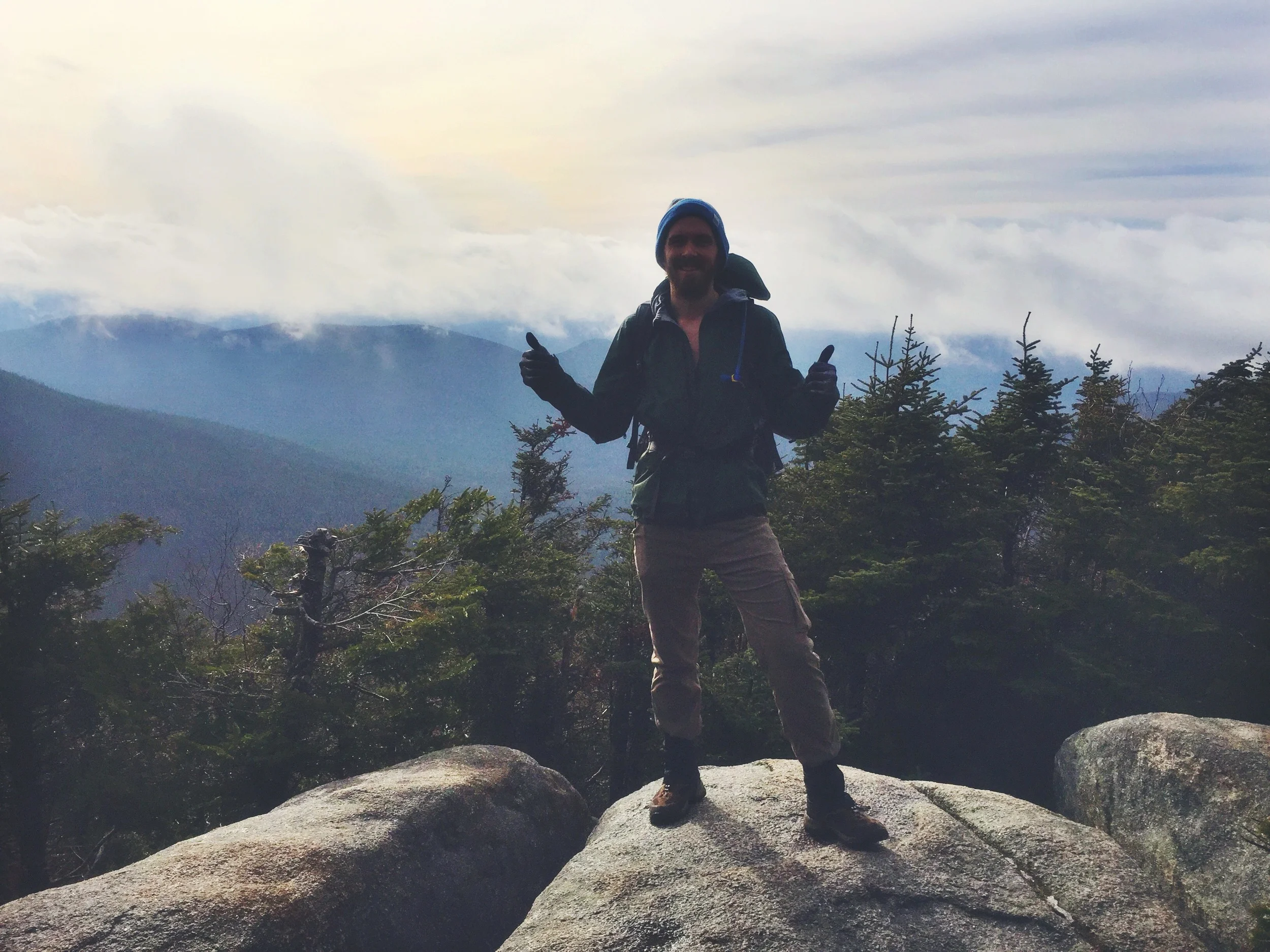
We were happy to hit our first summit of the trip, Mt. Passaconaway (4,043 ft.) after 4.7 miles. The tree-covered summit offers no spectacular views and is topped by a simple cairn. While the mountain summit is fairly uninteresting, it is worth noting that the peak was named after one of New Hampshire's most legendary Indians:
Passaconaway (Child of the Bear) was a peace-loving chief who united over 17 Indian tribes of Central New England into the Penacook Confederacy, and died in 1669. ©2011 White Mountain Attractions Association
After a quick snack on Passaconaway, we headed down the Rollins Trail for 2.44 miles towards our next summit, Mt. Whiteface.
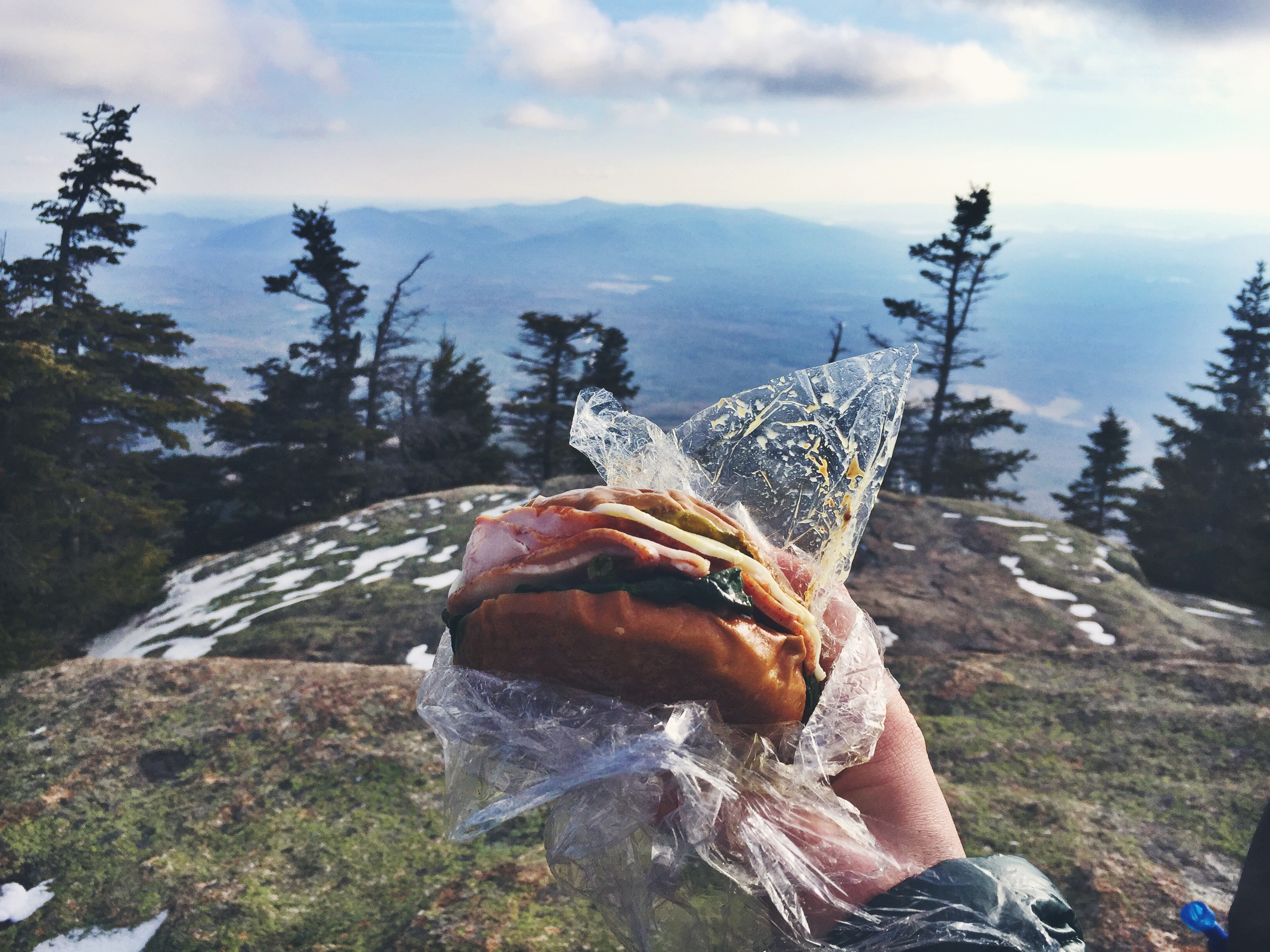
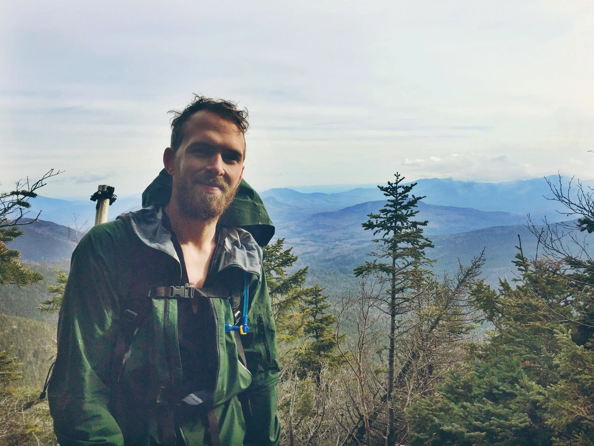
When we reached Mt. Whiteface, we were pleasantly surprised by the great views. We had partially expected a viewless expedition knowing that we were after many of the lower peaks on the 4,ooo footer list. Mt. Whiteface does not disappoint! A large boulder-covered opening awaits you at the summit with a great view of New Hampshire's lake region. It was here that we decided to stop for lunch. With two peaks down we dropped our packs and enjoyed sandwiches in the heart of the Sandwich Range.
We didn't stay at Whiteface for too long as it was very cold and our sweaty bodies were quickly cooling off. We started moving down the Kate Sleeper Trail (a wooded ridge line trail that connects Whiteface to the Tripyramids). It was along this trail that we planned to call it a night once a legitimate stealth campsite could be found. We reached a great campsite that we had read about, but had a few more hours of sunlight and wanted to get ahead a few miles, so we bypassed it and kept going in hopes of finding another site.
With more miles on our mind, we skipped over a water source which we later realized was quite a mistake. The small stream in the valley between Mt. Whiteface and West Sleeper is the only water source for about 7 miles. After giving up on finding water, we eventually came upon a great stealth site to call home for the night. We assessed our water situation before setting up to ensure we had enough for cooking dinner. With only a small amount of drinking water to spare, we decided it would be ok to set up here, but we wouldn't have enough water for our usual oatmeal and coffee breakfast.
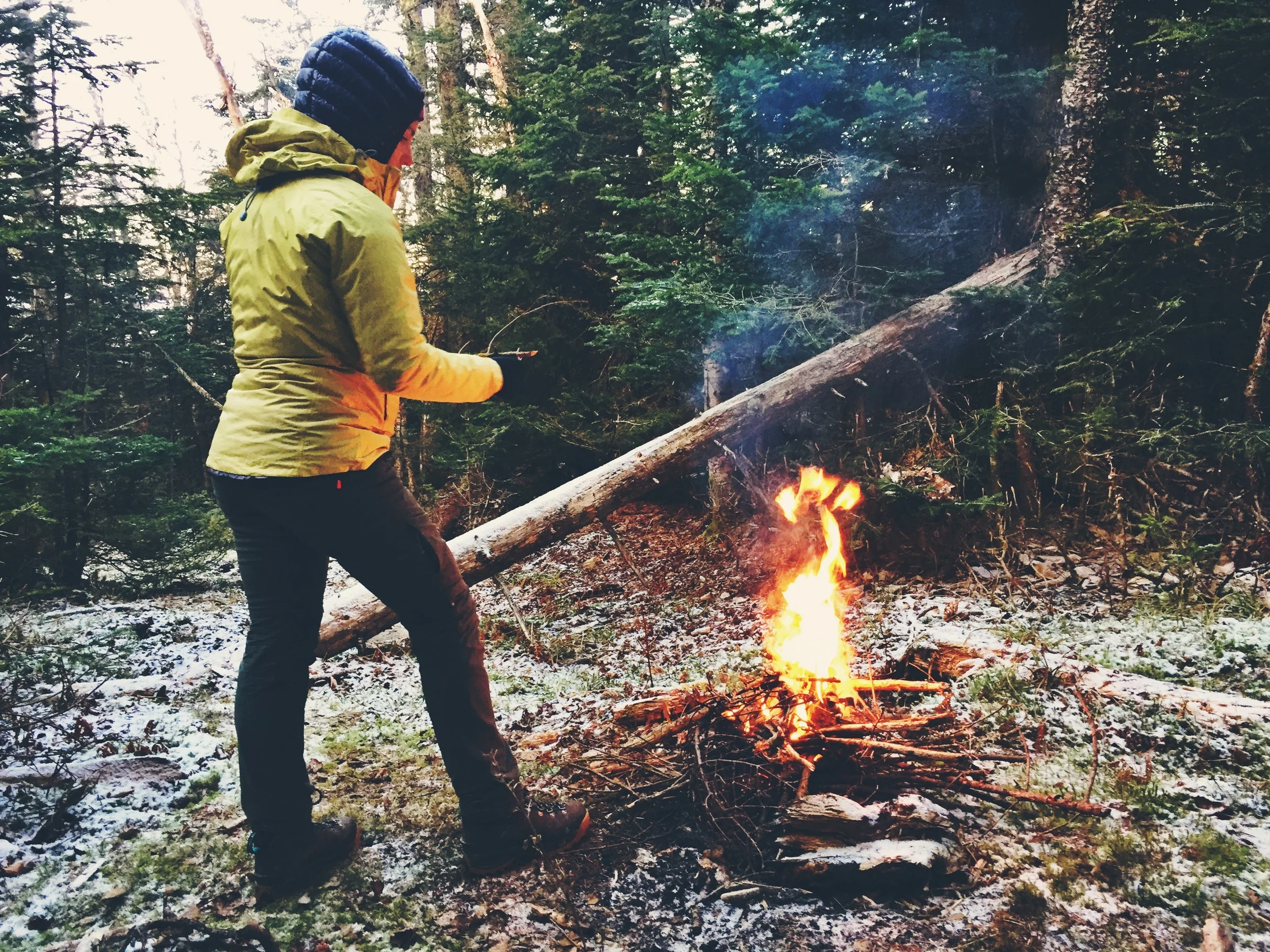
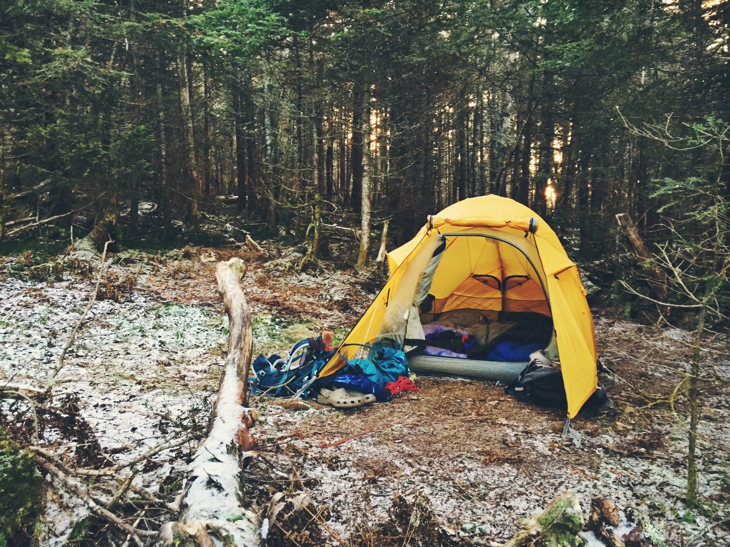
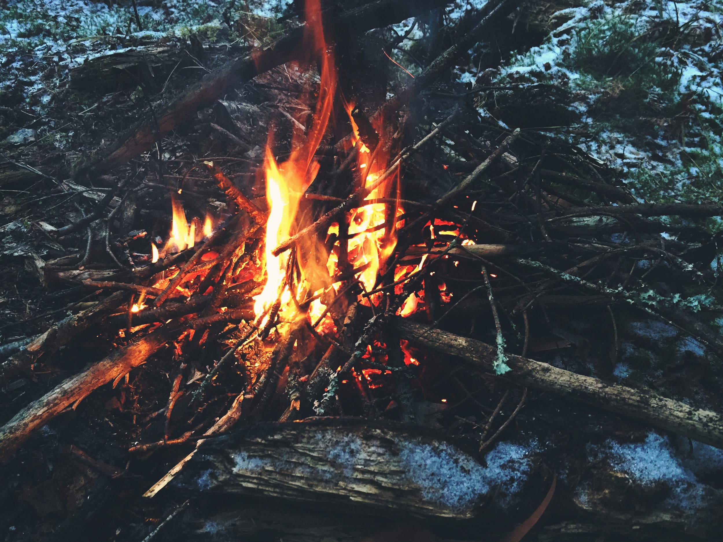
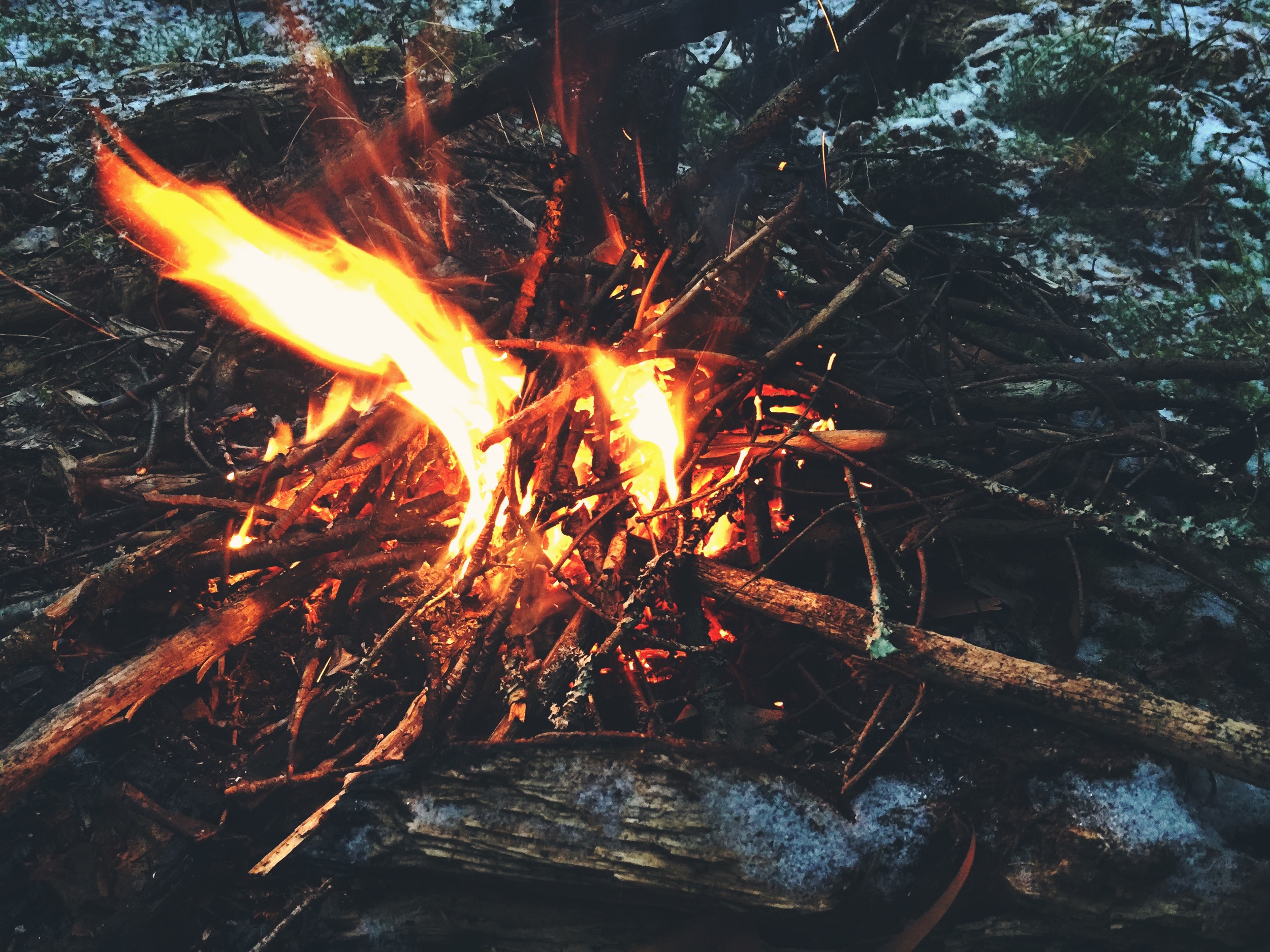

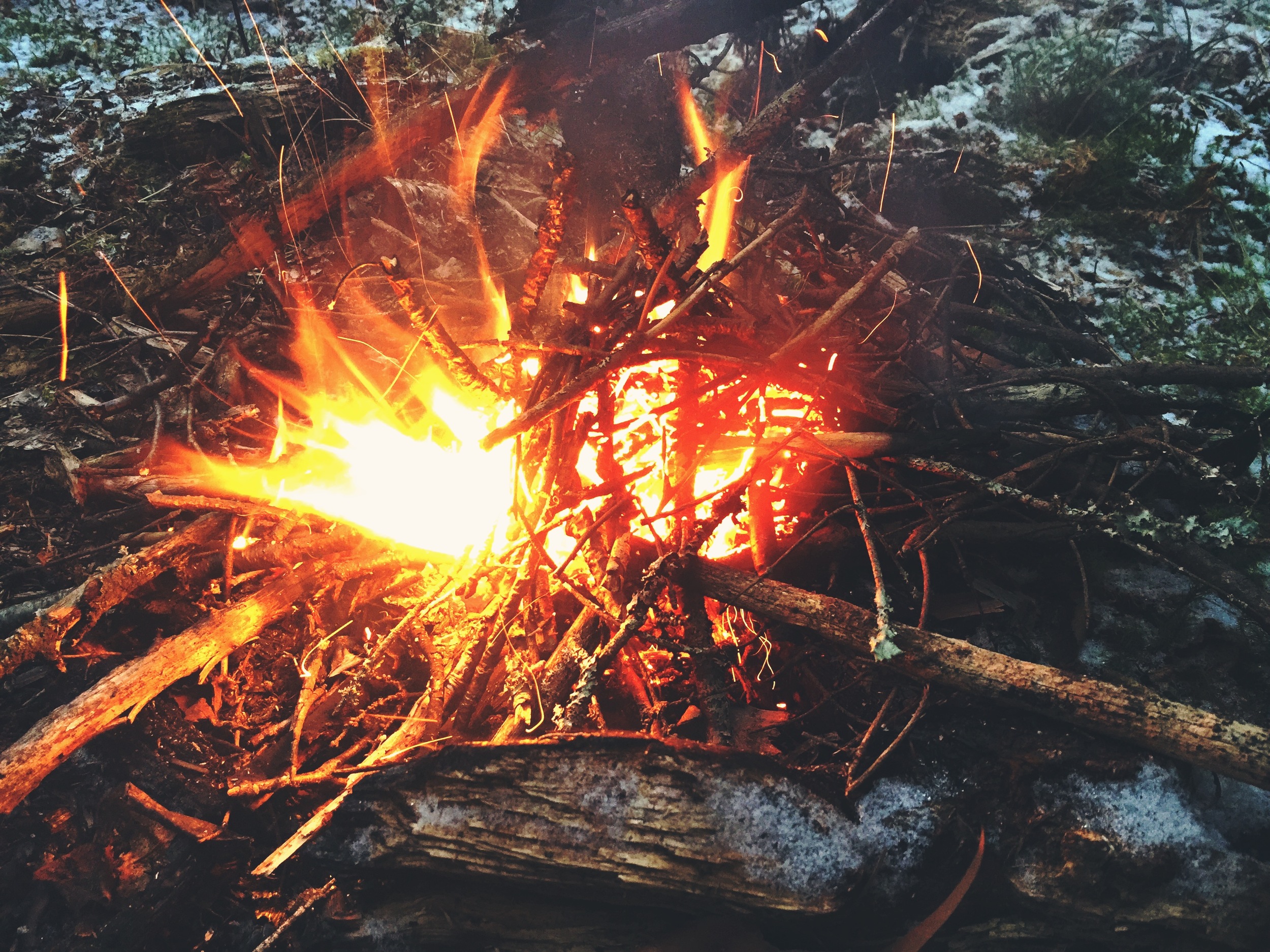

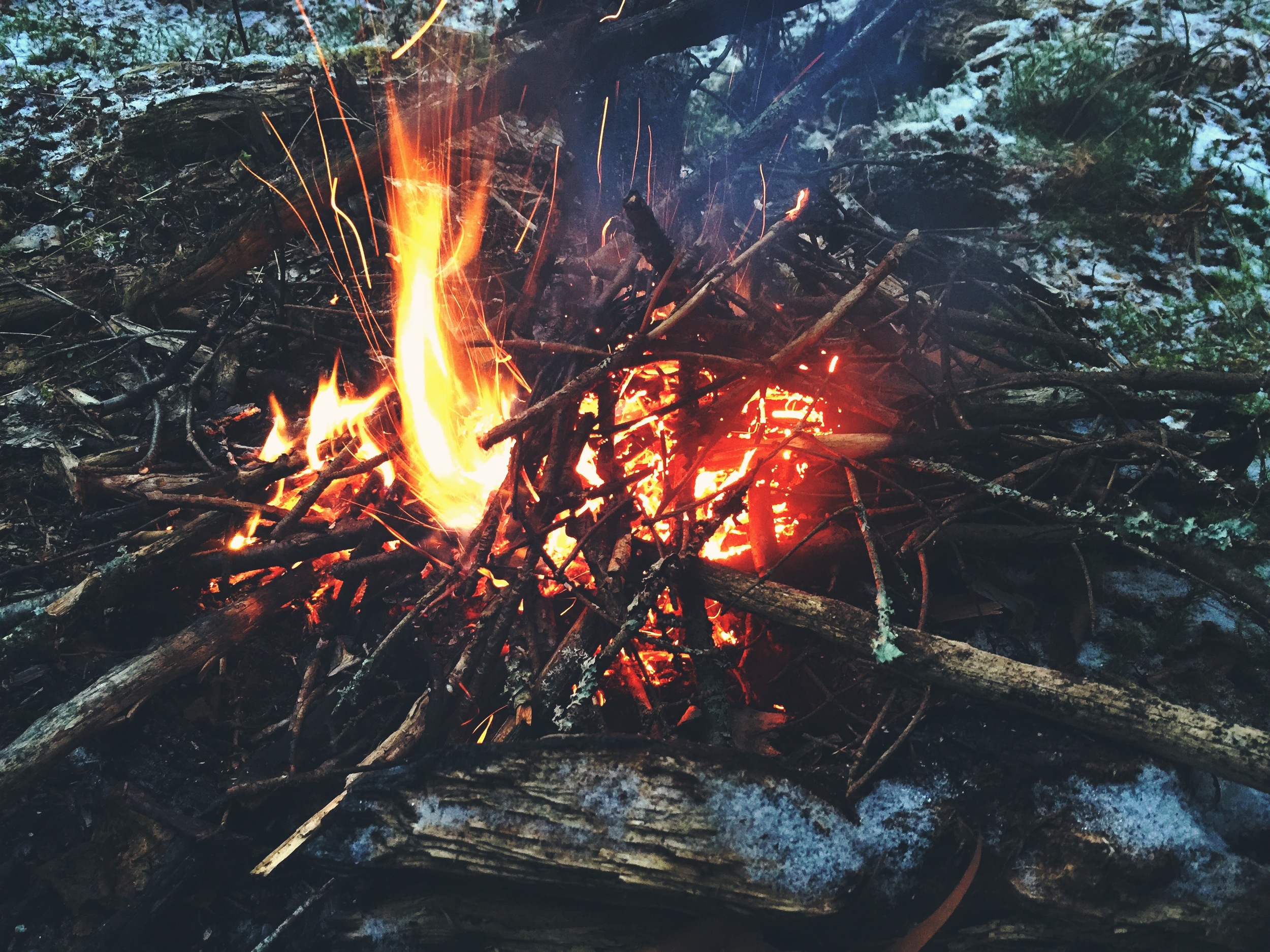

Birchbark allowed us a few solid minutes of a roaring fire after we set up camp, but the cold, wet wood was never able to catch. We cooked our dehydrated meals and then zipped ourselves into our tent and sleeping bags to warm up. It is always a good idea when winter camping to warm up your body before entering your sleeping bag. By doing a few jumping jacks or running laps around the campsite, you will be able to generate enough heat to begin the warming process and will sufficiently increase your bags ability to warm you up. We placed our boots near our feet at the end of the tent and our water bladders and hydration tubes inside our sleeping bags to keep them from freezing. Our sleeping bags were also filled with any of the clothes we weren't wearing and anything else we needed to keep warm (cameras, filters, canisters, etc). A moon-lit night allowed for a peaceful and warm snooze in our cozy gear.
DAY TWO - THANKSGIVING
MIDDLE TRIPYRAMID (4,139 FT.) - NORTH TRIPYRAMID (4,175 FT.)
Upon waking, we each performed the same warming up ritual from the night before to get our blood moving. Without water for a hot breakfast, we each ate a bar and hit the trail after packing up.
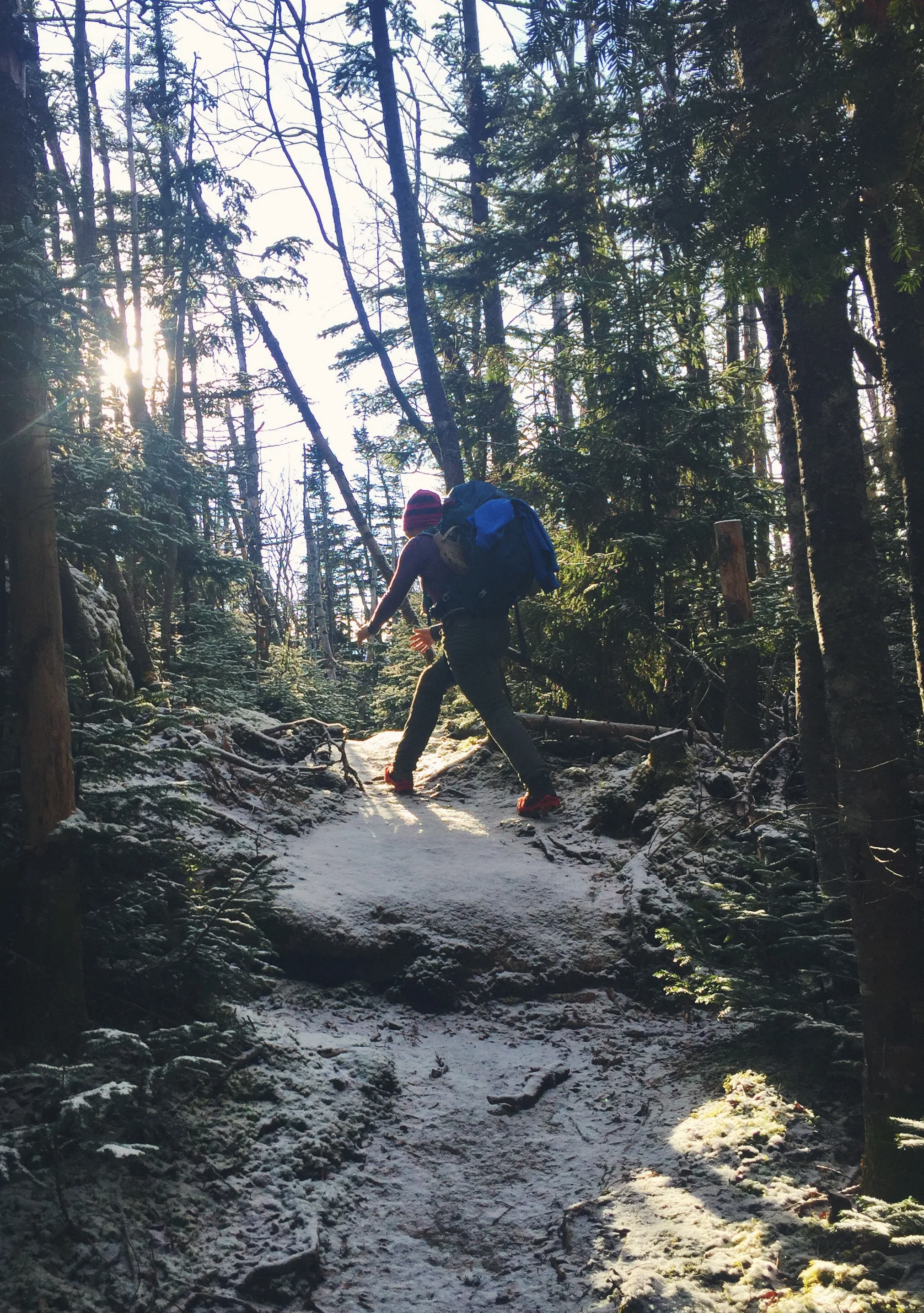
The 3.14 mile section between Whiteface and the Tripyraminds goes without a clear trail and mileage signs. Without knowing exactly how many miles we had hiked the day before, we weren't sure how close we were to our next peak. After some steep ridge climbing in the fog, we reached South Tripyramid (a non-official 4,000 footer) before Middle Tripyramid, our next 4,000 footer on the list. We were pleasantly surprised with how quickly we reached this peak, deducting that we did about 10 miles the previous day and had only 5.73 miles plus the 3.47 mile road walk left for day 2.
North Tripyramid (4,175 ft.) was up next and was last to tackle for the day. We arrived a short half hour after summiting Middle and had fog for a view. However, this peak has potential for great views on a clear day. After a quick snack we kept moving down the 3.78 mile downhill stretch to keep warm.
For those looking to camp in this area, it should be noted that there are many stealth campsites along the Tripyramid range. There is one near the top of South Tripyramid, a few in the dip between Middle and North Tripyramid, and at least one at the top of North Tripyramid itself.
We arrived at the road around noon and prepared for the sunny 3.5 mile walk back to our car. Walking on the smooth gravel road is not as easy as it sounds. After traversing over rocks and roots for the past 2 days, our feet were aching and ready for a break. Moose decided to put her thumb up, hoping some ThanksGIVING people would drive them down the road. With luck, a father and son on their way to their family's Thanksgiving celebration, happily picked us up and dropped us a quick few miles up the road at the car.
Happy to have gained a little relief, we jumped right in the car and drove farther down the Kancamagus Highway to our next destination, the Hancock Trailhead. We were pleased to spend the night at a scenic overlook, but it did mean that we would have frequent visitors throughout the evening. We claimed a spot at the end and reorganized the car for our living purposes. After a bit of relaxing, we got ready to cook our Thanksgiving meal.
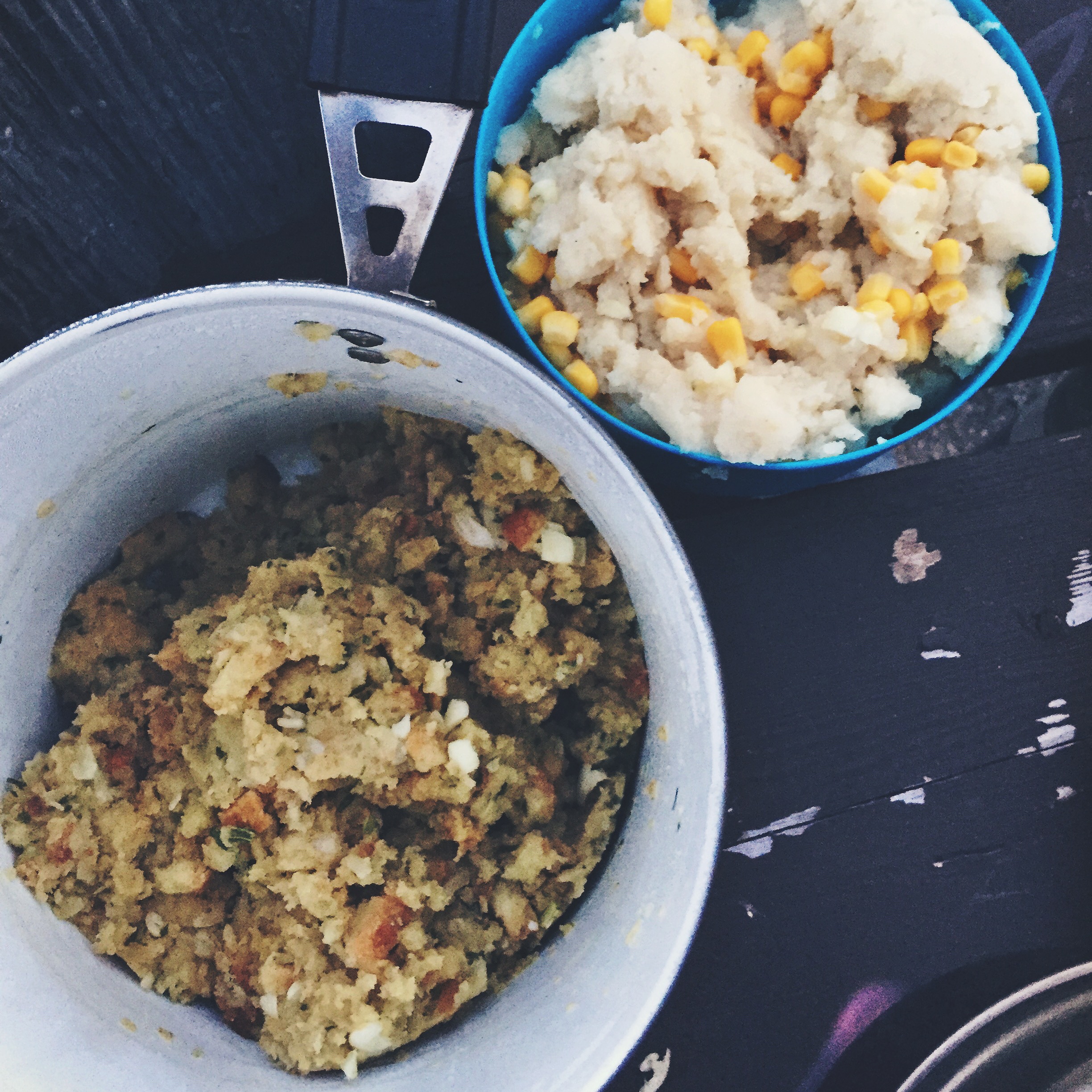
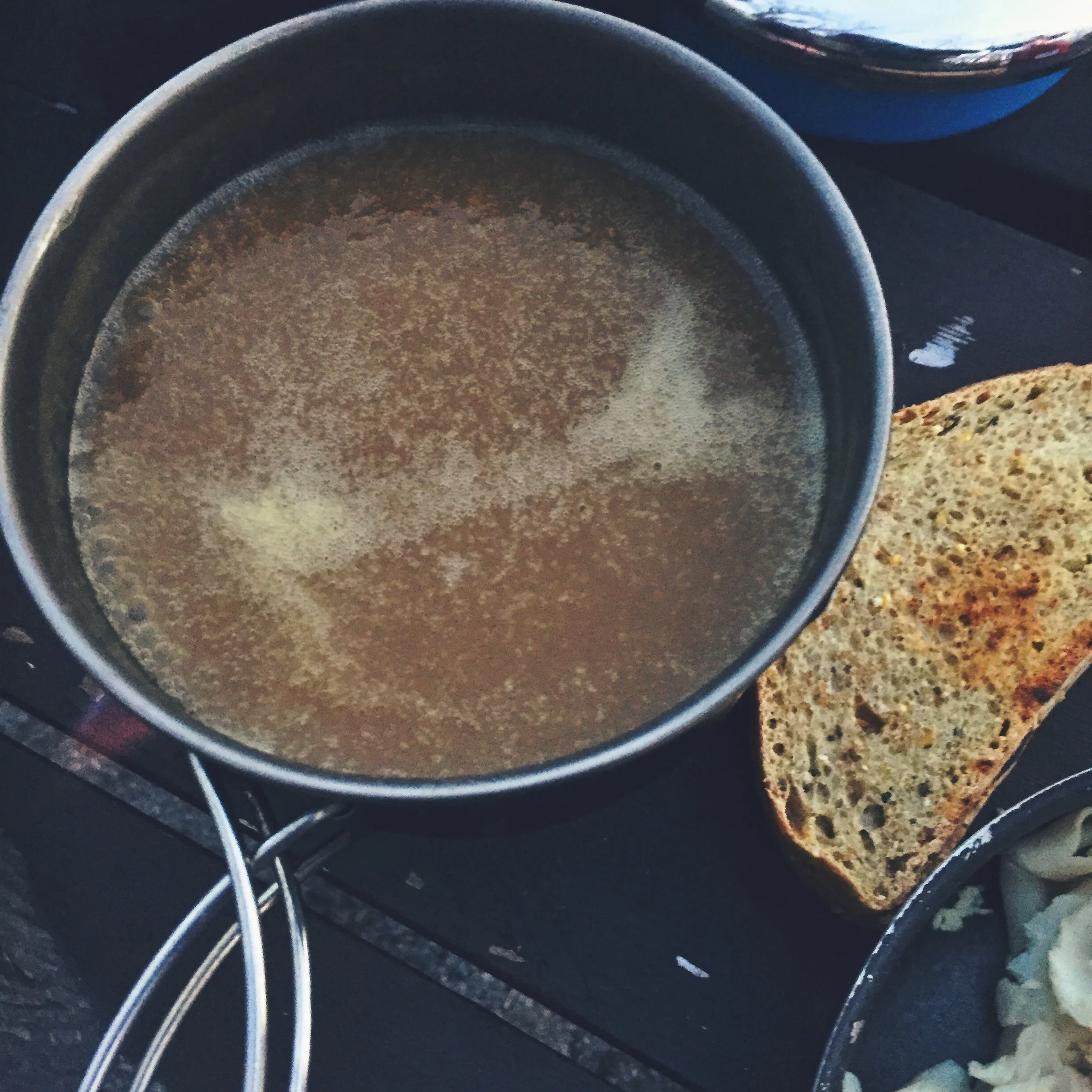
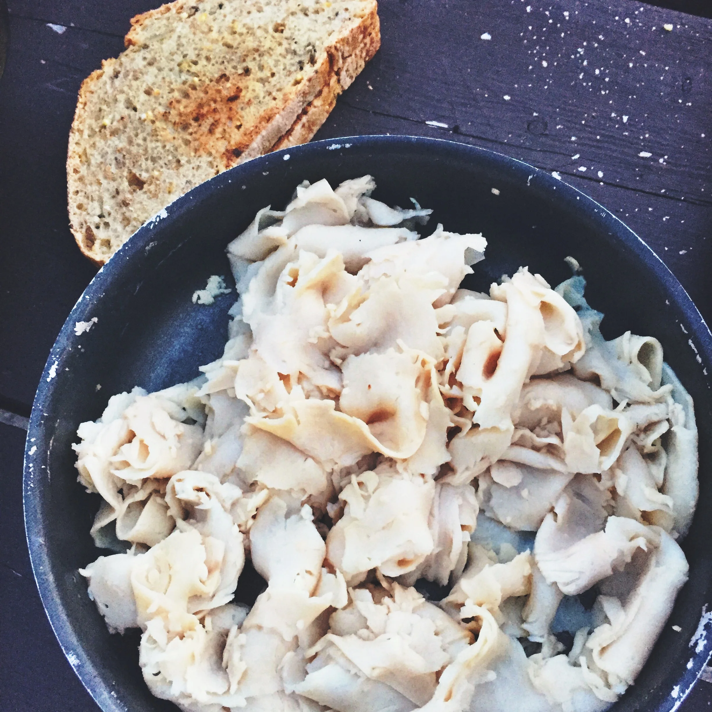
Moose brought along homemade cranberry sauce to go with our stovetop stuffing, deli turkey sandwiches, instant mashed potatoes, canned corn, local Maine bakery bread, and Trader Joes ready-to-go gravy. With wine in our camp mugs, we enjoyed quite a feast with the sun setting over the mountains right beside us.

With full bellies and a whole lot to be thankful for, we went to sleep with the sun in preparation for the next day's adventure.
DAY THREE
MT. HANCOCK (4,420 FT.) - SOUTH HANCOCK (4,319 FT.)
On our third day we woke with a sense of accomplishment, because the hardest miles of the journey were completed and we only had day hikes remaining. This meant lighter loads for the both of us. With the aid of our usual breakfast and pour over coffee, we met the sun and hit the trail.


We jumped on the Hancock Notch Trail for a surprisingly mild 1.8 miles to the Cedar Brook Trail which we followed with similar ease for .7 miles. The entire 3.6 mile trek to the base of the Hancocks is simple, fast, and boasts minimal elevation gain.
After a brief hour and a half of hiking, we reached the fork in the trail where one can tackle either peak (Mt. Hancock or South Hancock) depending on which way they choose to loop around. Either way, you are in for a very steep and quick uphill haul. We chose to head left at the fork to tackle the North Peak first, this meant a longer uphill and a shorter downhill. Whenever options allow, we always choose the shorter downhill. This tends to be much harder going and tougher overall on your body since gravity adds to the downward impact. We witnessed many hikers choose the opposite route, thinking that a quicker uphill battle seemed more desirable. We also discovered that the incline up the North Peak is noticeably steeper than that of the South Peak, so we were happy with our choice as our descent was much easier.
The incline up the Hancocks is tiresome and grueling, in similar fashion to an ascent of Mt. Moosilauke or South Kinsman via the A.T. (NOBO). Nevertheless, it was a blast of a climb that features many viewing opportunities of the South Peak.
Mt. Hancock (4,420 ft.) offers a small overlook, but our view was limited due to the clouds and fog. After reaching the peak, we headed across the Loop trail towards South Hancock.
South Hancock (4,319 ft.) was reached after a mere 30 minutes via the simple but varying path of boardwalks, mud patches and minor inclines and declines. The peak has a small view off the eastern edge, but again we could not see much due to the clouds. We stopped for a snack at the summit marker before starting our descent.
Once we had reached the bottom of the mountain at the trail fork, we looked forward to the easy trip back to the trailhead. We avoided the ice to the best of our abilities and zipped back down the 3.6 mile stretch to the car.
Pleased with how unexpectedly easy the day was, we had a celebratory beer, relaxed, and ate a late lunch at the trailhead before shipping out to the next location.
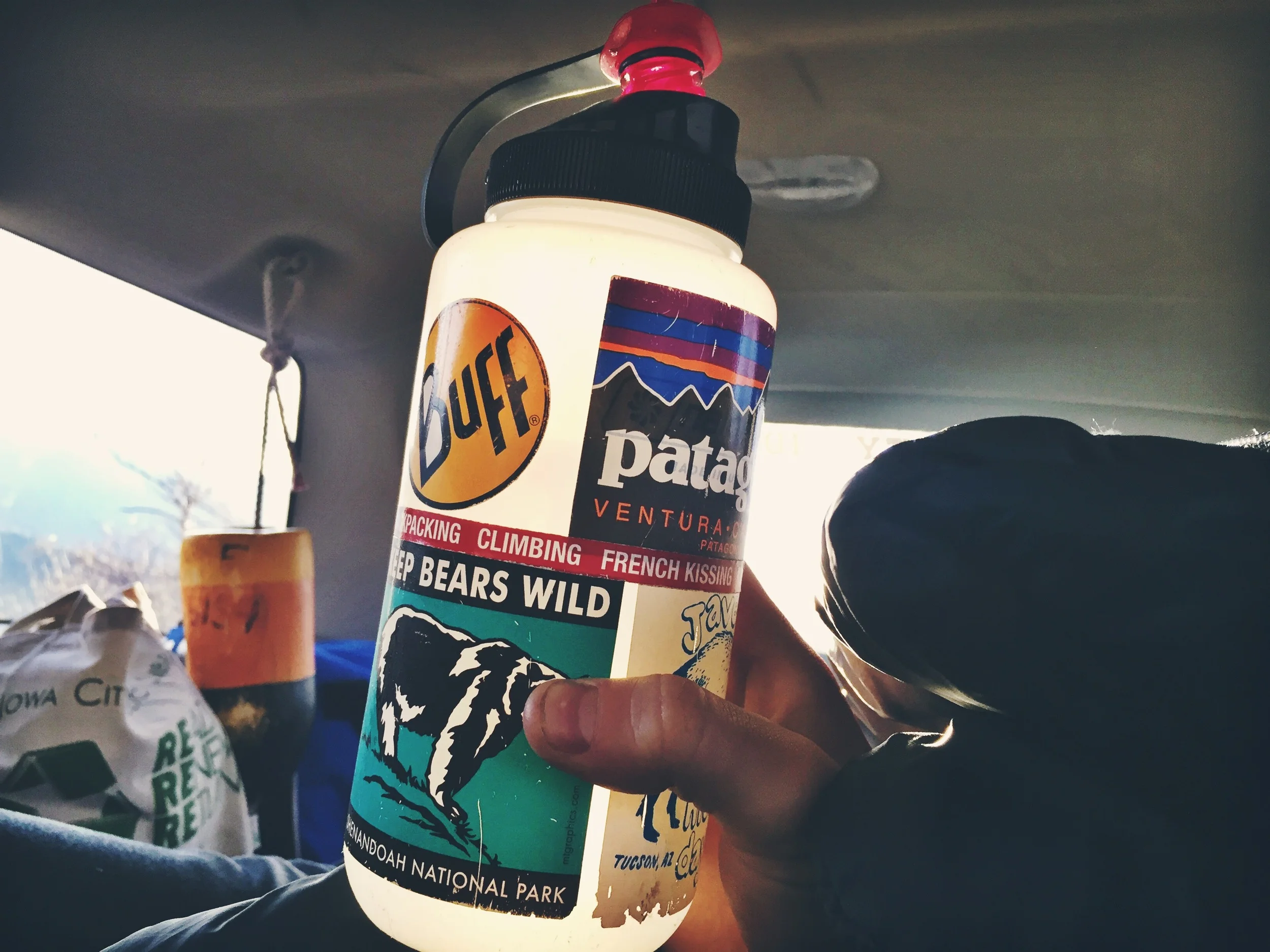
After a quick inventory and clean up, we realized that our 5 gallon water reservoir was getting low and would need to be refilled if we were going to continue the same level of hydration as we had throughout the three previous days. We took advantage of our location on the Kancamagus Highway and headed west to the closest town of Lincoln, New Hampshire. It was odd rejoining civilization for this brief interjection and we kept it short. We made a quick stop to one of our favorite spots in Lincoln, The Mountain Wanderer, where we briefly visited with the most knowledgeable man in all the Whites, Mr. Steven D. Smith, co-author of the AMC’s White Mountain Guide. From there, we hit up the Rite-Aid across the street where they happily let us refill our water reservoir and sold us a much needed Gatorade.
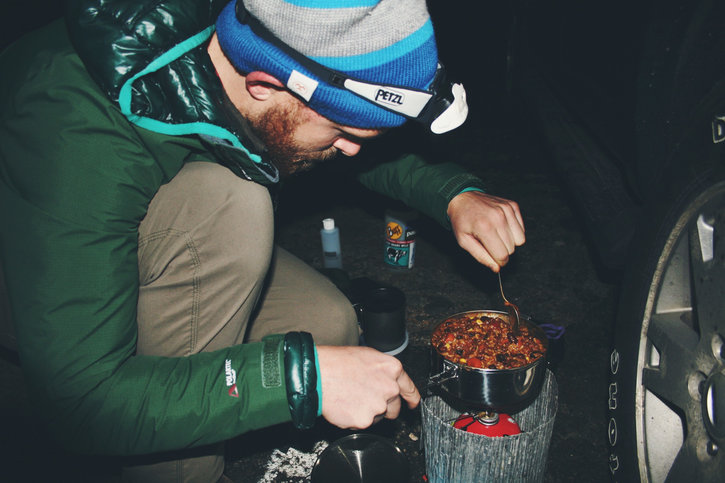
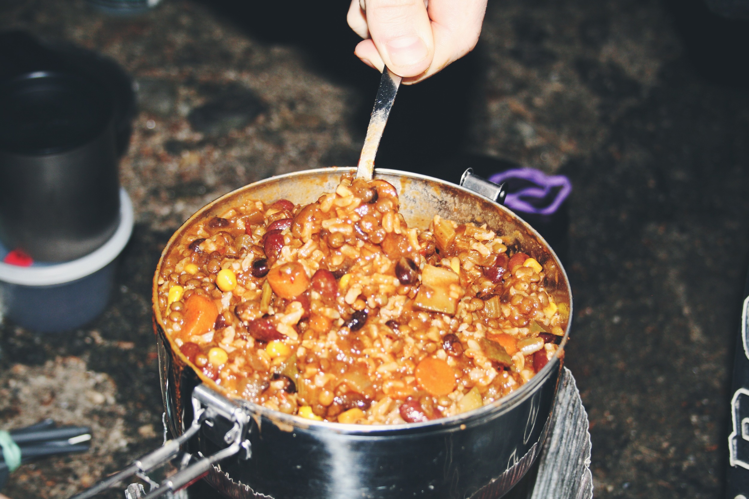
We then drove back into the mountains to our next trailhead at the base of the Osceolas. After some brief relaxation, we warmed up our dinner of homemade chili and rice prepared by Moose. Then we hit the hay with the setting of the sun.
DAY FOUR
EAST OSCEOLA (4,156 FT.) - MT. OSCEOLA (4,315 FT.)
On our fourth day we had our eyes set on Mt. Osceola (4,315 ft.). Last winter we attempted to bag the Osceolas, but we were only able to reach East Osceola (4,156 ft.) due to the thicket of snow. Now we would have to try again. We didn’t want to take the same route, but the only other option would have forced us to spend more time in the car driving around to the other side of the range. We said so-be-it and headed back up the Greeley Pond Trail.
From a mileage perspective, this was our shortest day at a grand total of 6.82 miles, but they certainly don’t come easy on the Osceolas.

The initial climb to East Osceola is steady and much harder than we had recalled from our previous winter trip. This is generally the case, as snow-covered winter trails tend to be easier. It offers some spectacular views as you climb up large rock outcroppings just before reaching the summit’s plateau.
At East Osceola’s summit cairn, we stopped for a break and snack before pushing onward down the dip to the next peak.
The stretch from East Osceola to the higher reaches of Mt. Osceola is accentuated by a large rock wall obstacle known as “The Chimney”. This fun, mildly dangerous, and steep rocky road block adds to the excitement of this very accessible hike.
Once over the chimney, we had to cover a little more ground and a few more ups and downs before reaching the wide open summit of Mt. Osceola.
Unfortunately for us, the peak was completely encased in a cloud and the potential view was nonexistent. Nevertheless, we enjoyed the large, barren rock summit. We had heard that there was a higher point back within the trees, so we searched for this “true” summit. It ended up being a large boulder and we proceeded to eat lunch on the rock.
Once we wrapped up our lunch, we snapped a few more pictures and began our descent. Retracing our steps, we climbed down the chimney and eventually summited East Osceola for our third time.
This hike took us exactly 5 hours, returning us back to the trailhead at 2 PM where we unloaded and shipped out.
Our next peak, Mt. Carrigain, was the only mountain that was not accessible via the Kancamagus Highway so we said our goodbyes to the scenic byway and drove north to Route 302. Along our drive, Teton stopped to snap a few pictures of the lovely Lily Pond.
DAY FIVE
MT. CARRIGAIN (4,700 FT.)
On the fifth morning, after four days of hiking, Moose was much more hesitant about getting up. It was clearly going to be the coldest day yet and breakfast in the nearby town was calling her name. Teton held strong to their plan though, persuading Moose that the views promised at the top would make the large mileage worth it. Teton had saved this hike for last, as the grand finale, since he knew the fire tower that resides at the top would be their best chance for a view all week.
Despite the freezing temps, this was the sunniest day of hiking we had had yet. The beautiful conditions and rather easy ascent, quickly changed Moose's outlook on the day.
After an icy but rather easy 4.2 miles, we reached Signal Ridge; an open ridge line that prefaces the final push to the summit.
The views along Signal Ridge were amazing! With zero clouds in the sky we could see for miles.
The final few miles to the the summit were littered with great stealth camp sites. We noted that an overnight at the top would be a worthwhile endeavor come warmer weather. Before we headed up the the fire tower, we threw on every last layer we had; the wind was whipping and the air was bitterly cold.
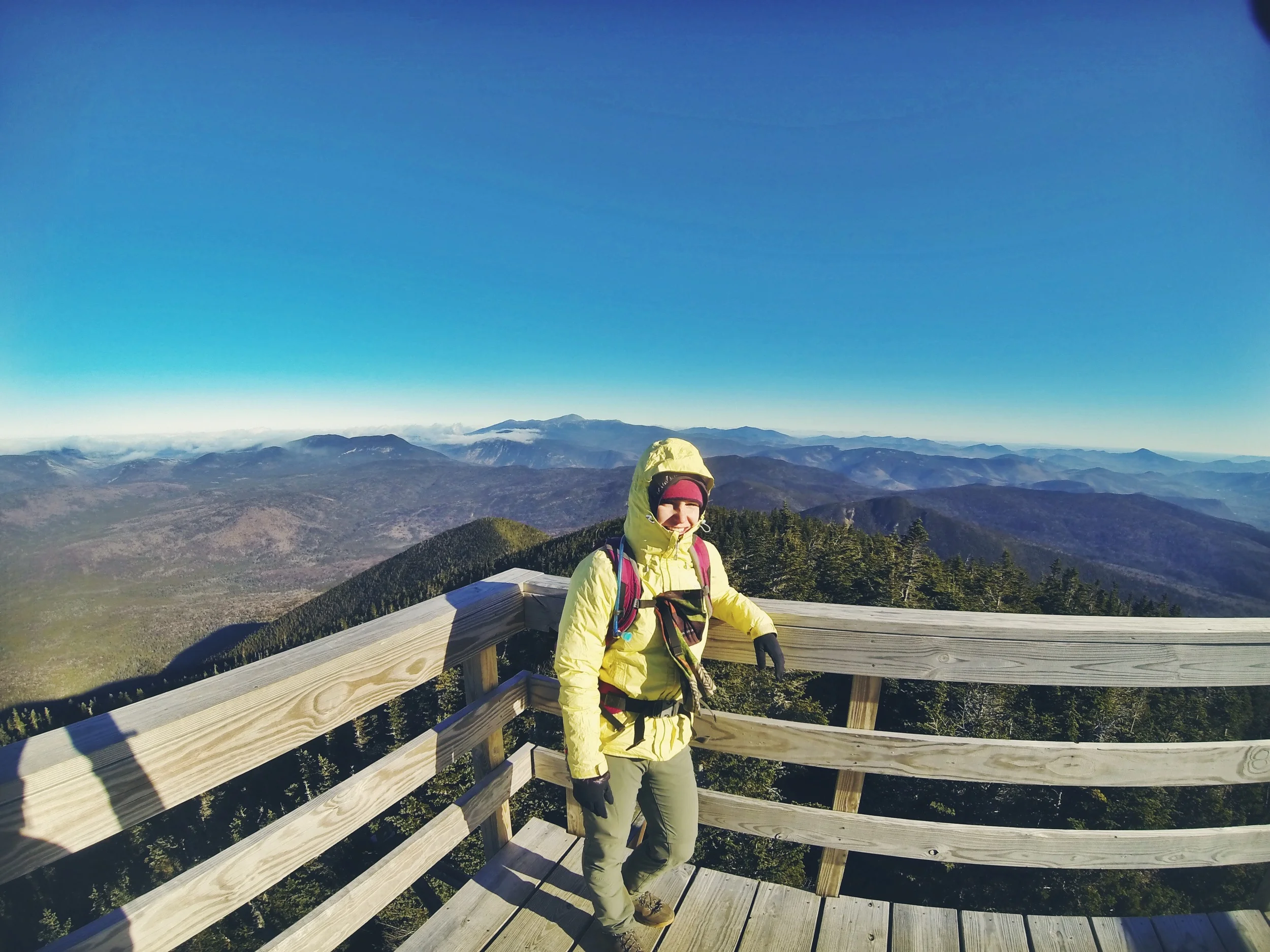
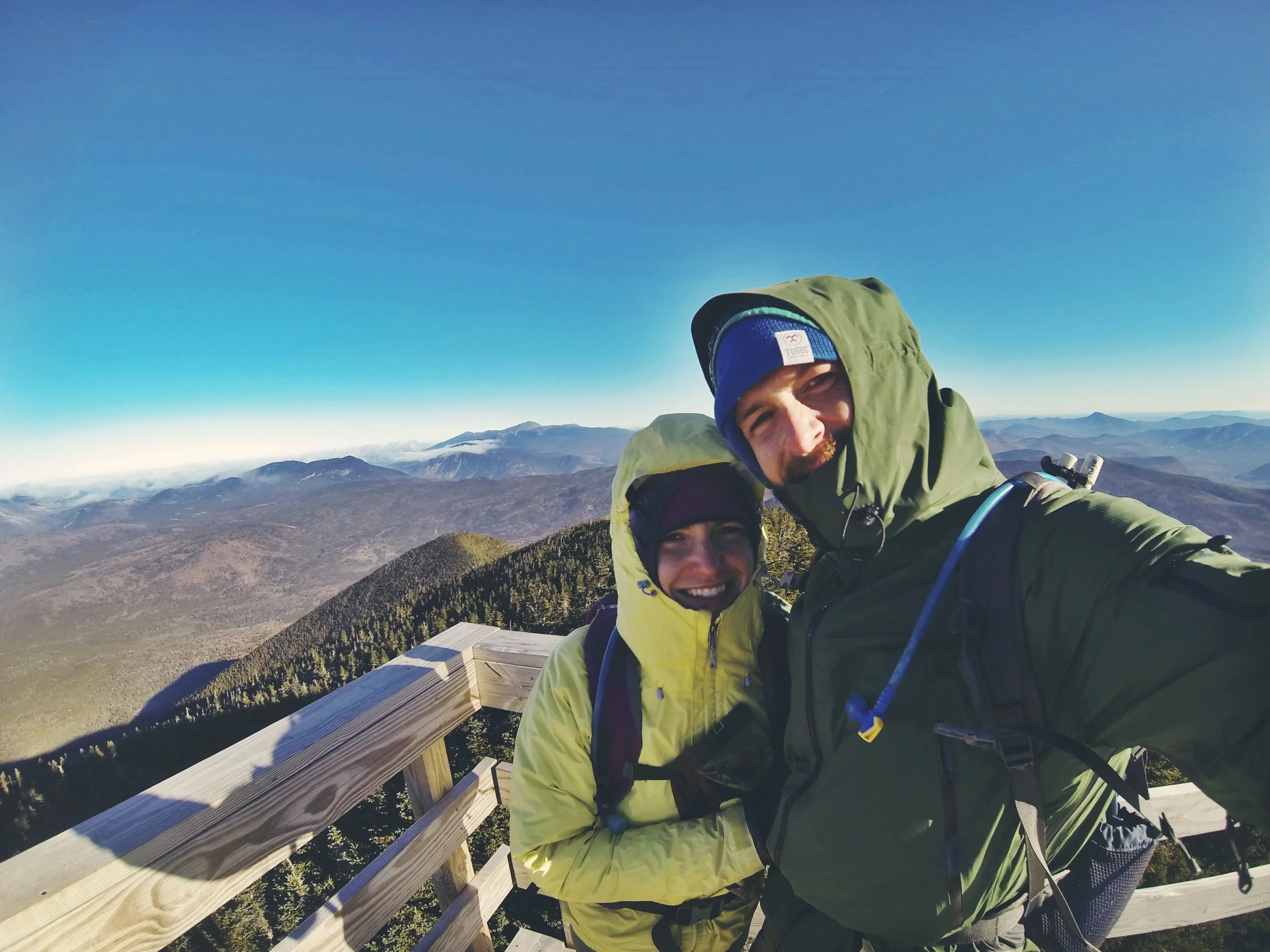
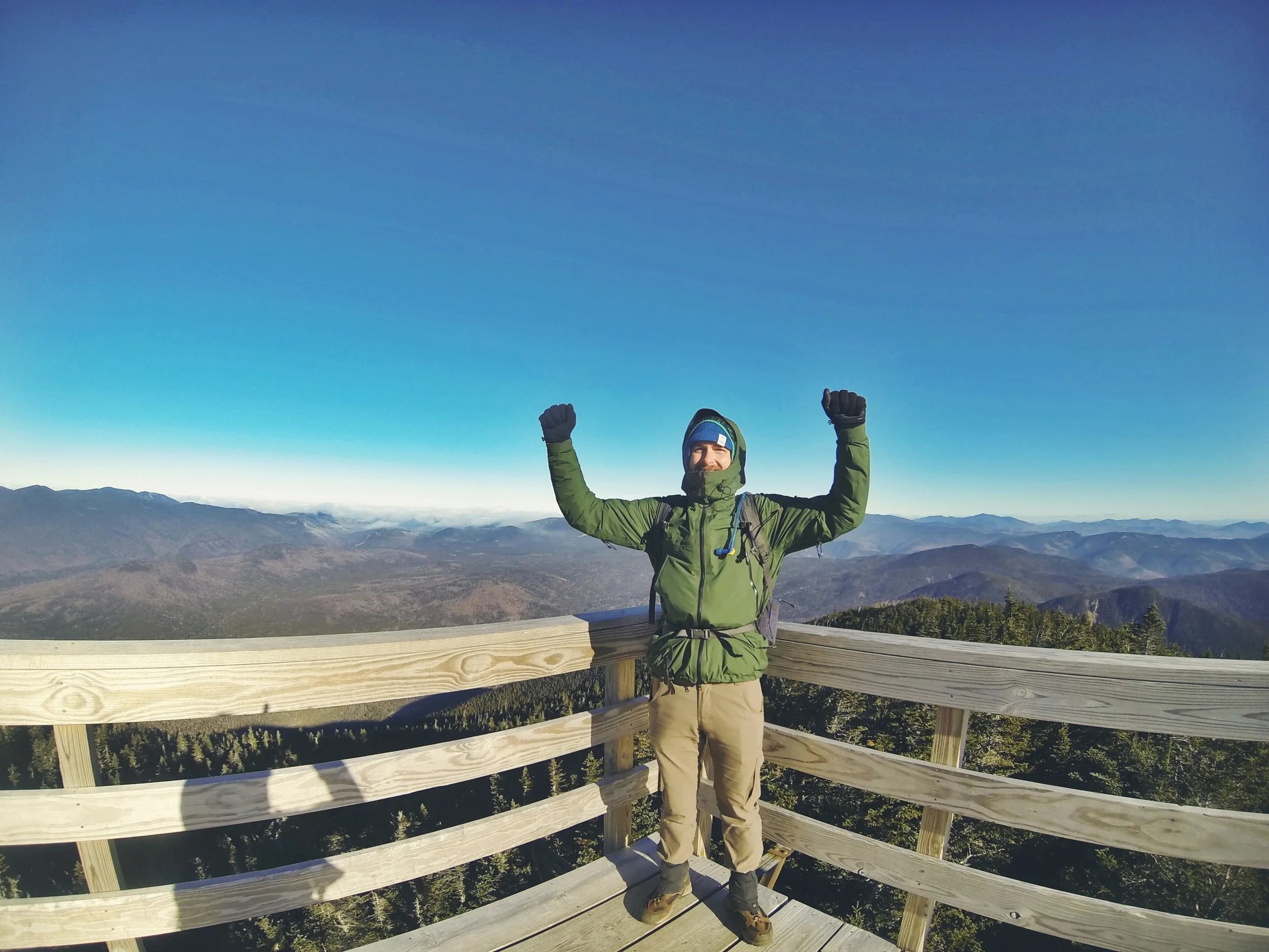
The 360° views from the fire tower were incredible! The top of Mt. Carrigain is the geographical center of the White Mountain Region. Before the Kancamagus Highway was built in 1959, the wilderness that is visible from the top was the most remote and hardest area to get to in all of the Whites. Although beautiful, our time at the top was kept short due to the unbearably cold temperature and uncomfortably biting winds.
We wanted to spend a little more time at the top, so we enjoyed a quick snack at one of the stealth sites near the top. It was hard staying warm given the conditions and we were forced to jog around the site multiple times while consuming our snacks. Afterwards, we began the five mile backtrack to the base.
Compared to our normal expectation of White Mountain trails, this route was quite easy and quick. There is hardly any steep incline and the path is well trodden and clean. Despite expectations, we were pleasantly surprised by the ease at which we were able to complete the route. We prepared for a punishingly long final day, but the entire trip only took us 5 hours to complete. Back at the car by 1 PM, we cracked open the last of our beers in celebration as we packed up and headed out. Sad to leave our peak bagging lifestyle behind, we were pumped that it was mission accomplished!